Brenton Peterson
  • Home
  • About
  • Academic Research
  • Consulting Research
  • Resources
    • Data
    • Research Assistants
    • Marsabit County Maps
    • Survey Research in Remote Areas
  • Climbing


​Selected Maps of Marsabit County, Kenya:
Maps produced by the Marsabit County Government, helpfully provided by the staff of the Hunger Safety Net Program

Laisamis (3.2 MB)
Maikona (10.2 MB)
Marsabit and surrounding areas (3.5 MB)
​Marsabit Town (4.9 MB)
North Horr and Kalacha (2.9 MB)
North Horr (3.3 MB)
South Horr and Loiyangalani (3.4 MB)
Picture
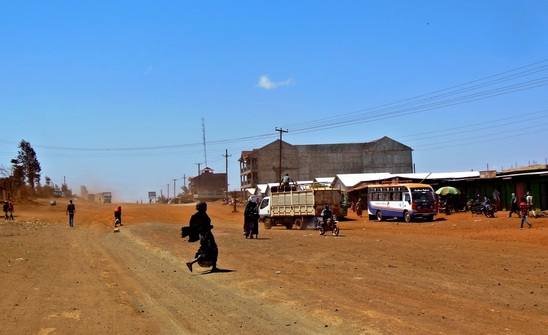
The A2 Highway, Marsabit Town
Proudly powered by Weebly
  • Home
  • About
  • Academic Research
  • Consulting Research
  • Resources
    • Data
    • Research Assistants
    • Marsabit County Maps
    • Survey Research in Remote Areas
  • Climbing